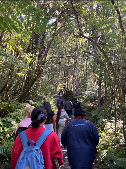
Last week the Year 12 Geography class, Mr Gibbs and Miss Millar packed into two of the school vans with lots of gear, food, and data collection equipment and made the long drive down to Tongariro National Park. The purpose was to collect environmental data - vegetation, climate, soil and altitude data on Mt Ruapehu and the surrounding area so we could investigate our understanding of how the different parts of the environment interact with each other.
Our data collection took us to lots of different locations within the Tongariro National Park, from the lowland Mangawhero rimu forest to the tearooms at the top of the Whakapapa skifield - 2020m above sea level! Getting the Sky Waka (gondola) was pretty surreal as it was so misty you could only see a few metres each way, but the students did get to experience life 2000m above sea level - even if only for a brief time.
The accommodation was excellent! The huge TV screen to watch cheesy movies was a popular feature as everyone flopped onto the large comfy couches after the long days of driving and walking around the mountain, often in the rain and wind! Everyone was in a positive mood and the class bonded over their shared experiences.
Now the process begins of turning pages of data into a research project worth over ¼ of the total credits for the year - as well as providing valuable insights into our study of the Amazon environment - the topic for our end of year exam. It is always a challenging couple of days, but super fun and the learning that happens out there on the mountain just can’t be replicated in a classroom setting.
Thanks 12A Geo and especially Miss Millar for making this such an enjoyable and valuable experience!
Written by Mr Gibbs


 42 Rathgar Rd